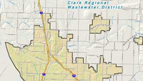
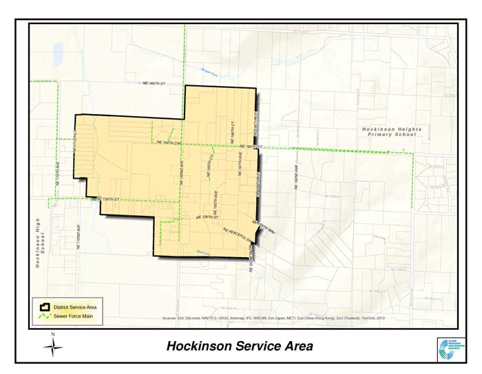
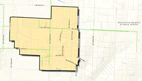
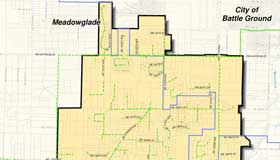
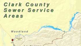
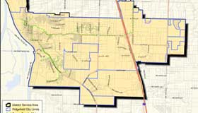
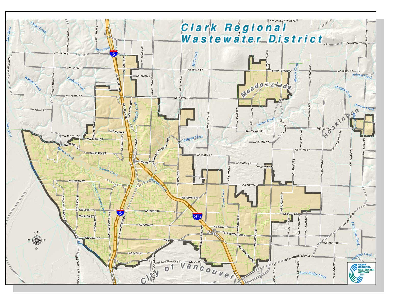
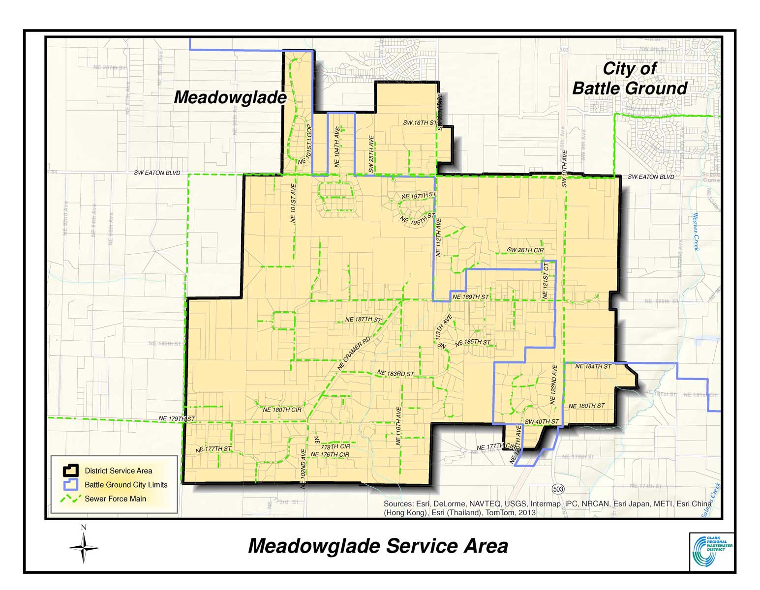
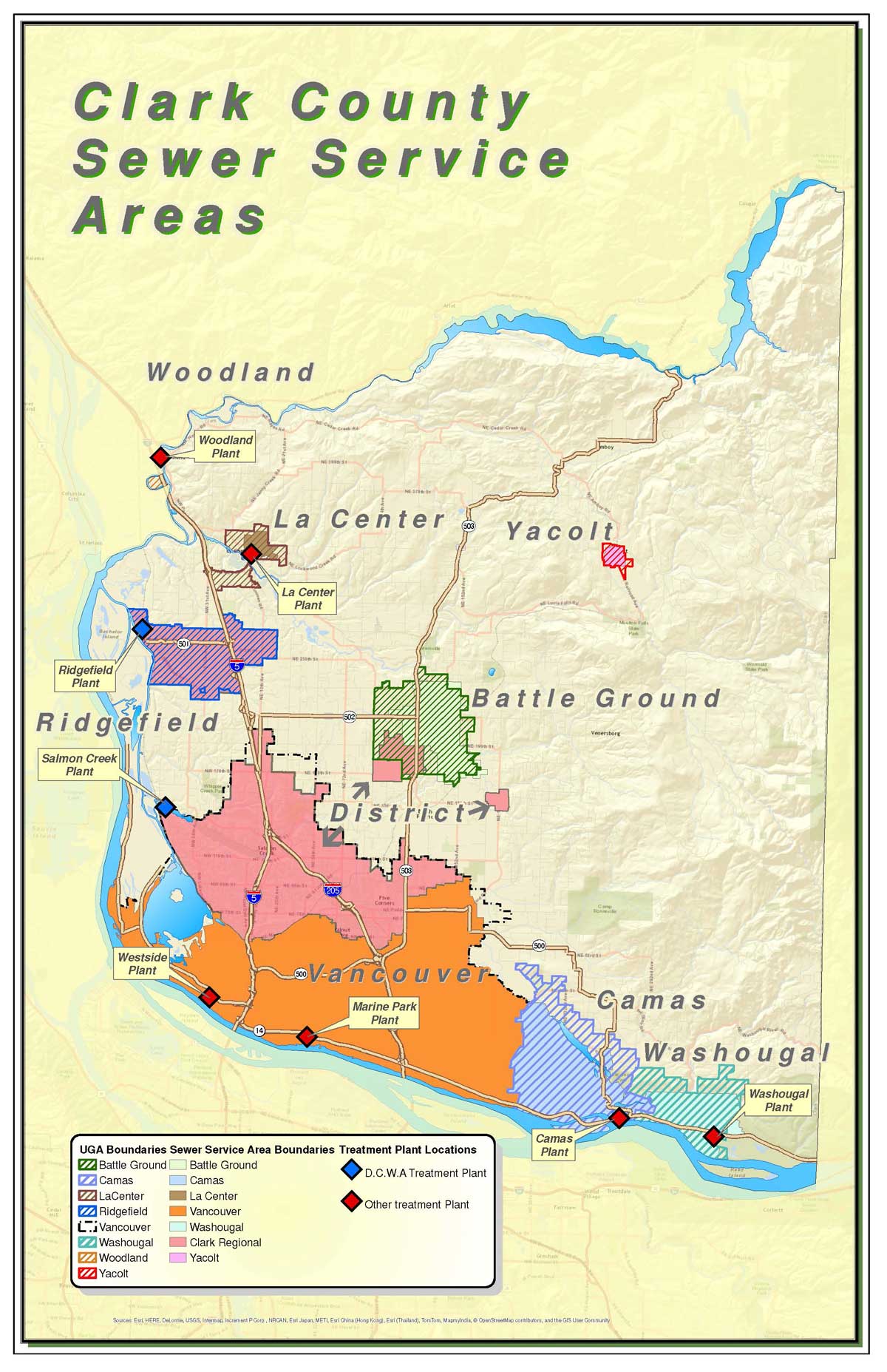
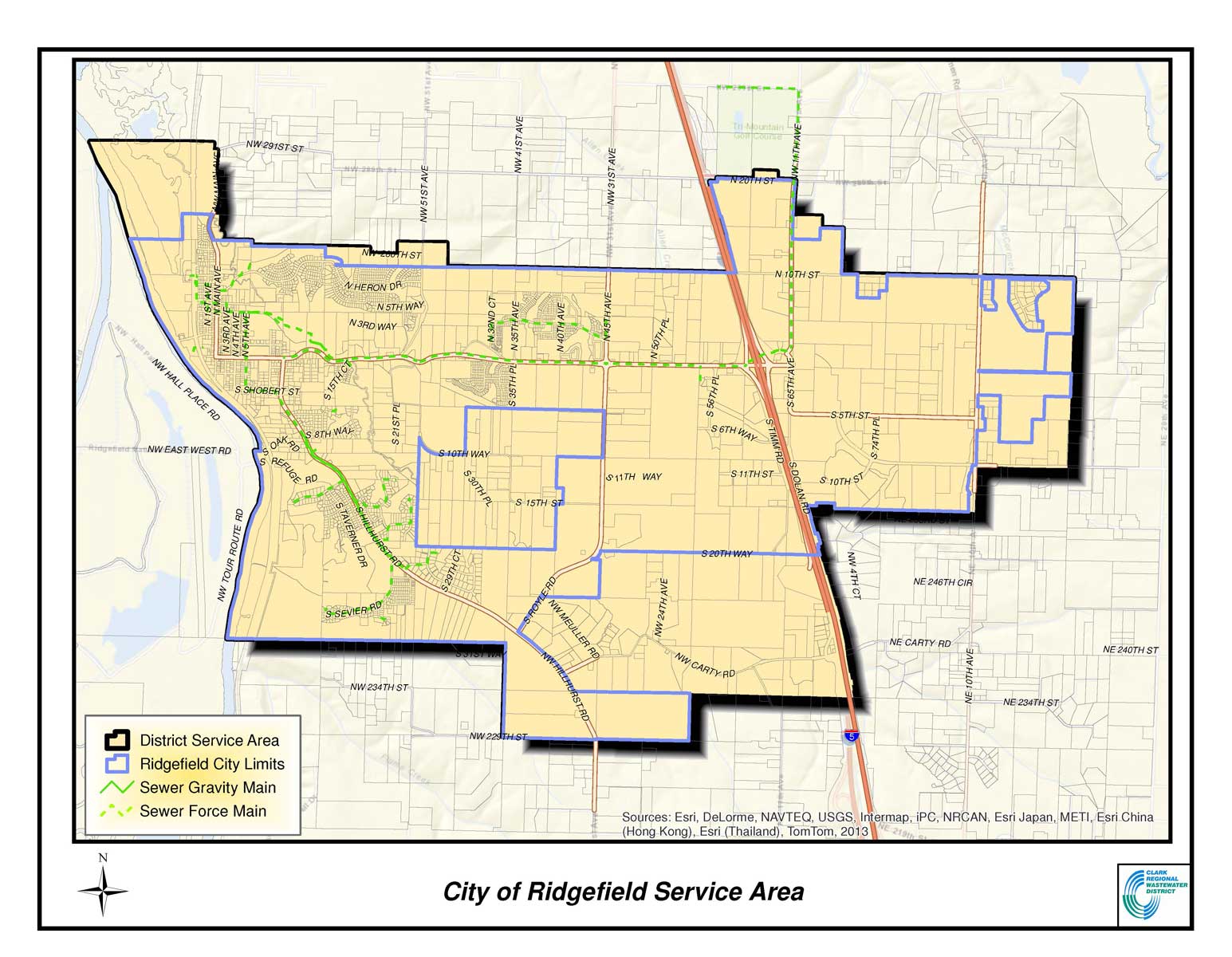
Our Service Area
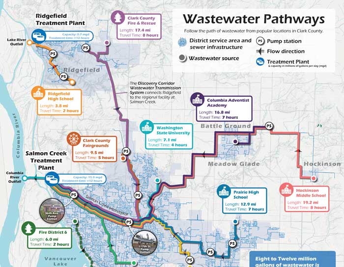
The District provides services to residents and businesses living and working in unincorporated Clark County and the City of Ridgefield. Affordable and reliable sewer service is provided to approximately 100,000 people throughout more than a 47 square-mile service area. The service area stems from the Hazel Dell neighborhood at the southern end more than 10 miles North along the Interstate 5 “Discovery Corridor” to the City of Ridgefield. Similarly, the area spans from the Felida neighborhood in the West, overlooking Vancouver Lake and the Columbia River, more than 10 miles East to the neighborhoods of Brush Prairie and Orchards. The District also serves the rural centers of Meadow Glade and Hockinson, situated near Battle Ground, Washington and the Cascade foothills. Some maps and basic statistics about our area and system are provided below.


Statistics
- Service Area – 47+ square miles
- Equivalent Residential Units (ERU) – 53,000+
- Customers – 40,000+
- Collection System – 775+ miles gravity and pressure pipe
- Pump Stations – 77
- STEP Systems – 890+

LEGAL DISCLAIMER
District Service Area Mapping provided on the website
The District makes no guarantee of the accuracy or completeness of the information shown. These maps are presented for public use as-is. These maps are a visual reference of the sewer system and of the recorded legal documents. The geographic information contained on this site is not to be construed or used as a source of sewer serviceability or availability. Every effort has been made to ensure the map accuracy, but errors in mapping or errors in the source documents do occur. The District assumes no liability for either any errors, omissions, or inaccuracies in the information provided regardless of their cause, or for any decision made, action taken, or action not taken by the user in reliance upon any maps or information provided. These maps are for information purposes only and may not represent actual conditions.
Information used here is created from available public records and existing map sources, not directly from field surveys. The District does not warrant the accuracy, reliability or timeliness of any information in these maps, and shall not be held liable for losses caused by using this information. Portions of this information may not be current or accurate. Any person or entity who relies on any information obtained from these maps, does so at their own risk.